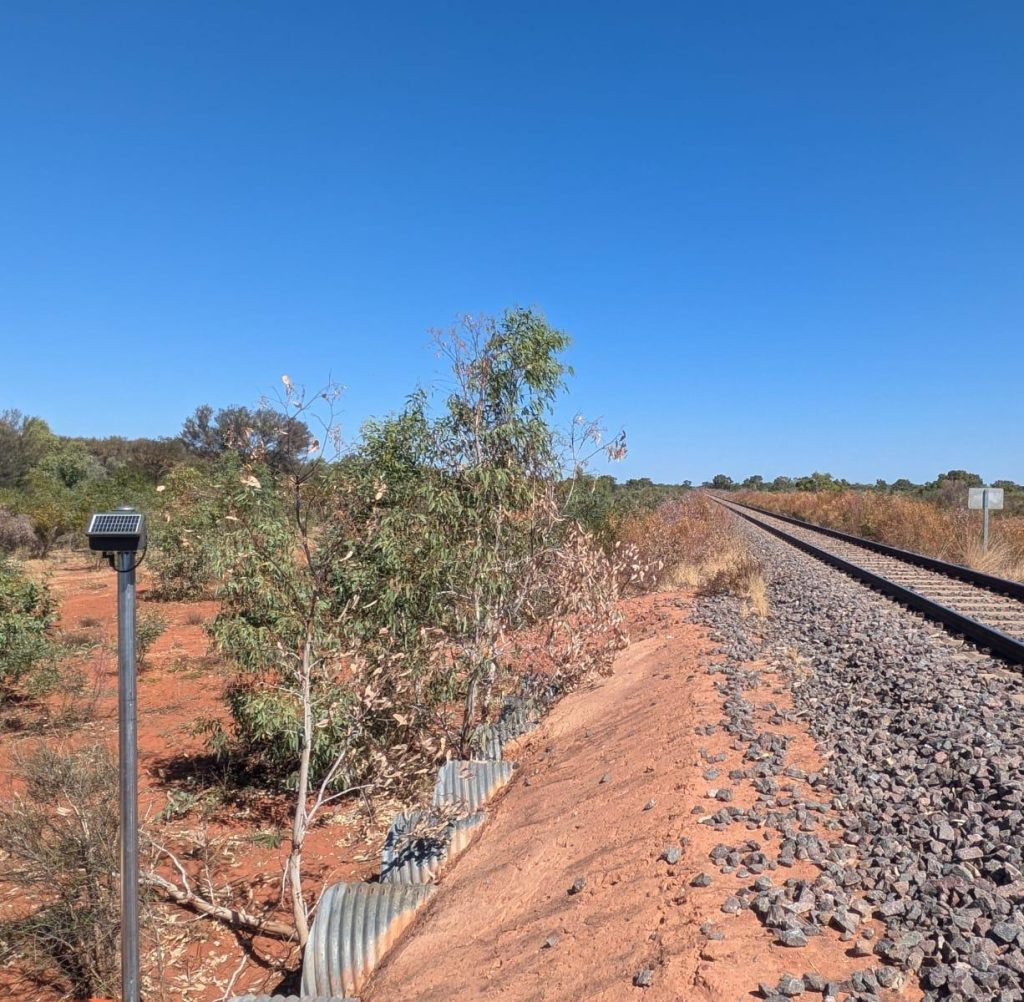
Rail Culvert Flood Warning, Northern Territory, Australia
One of Australia's largest rail operators required flood warning on 100 low-lying culverts across it's network. The compact Iridium EWS-EMT devices paired with hydrostatic level sensors allowed un-matched scalability and enabled this mega project to be completed within 8 weeks where alternative technology would have taken years.
These sites will provide rail operators with remote data on culvert water levels with alert triggers for flood events from areas with zero cellular coverage.
Read more
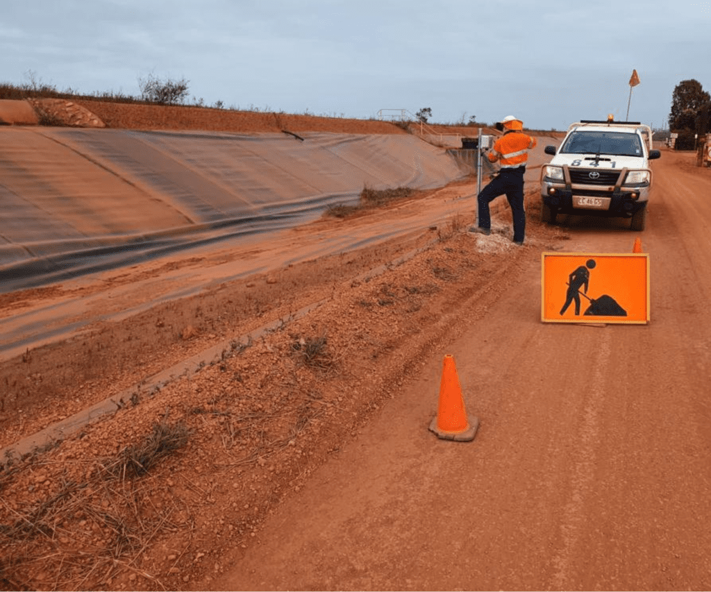
Tailings Storage Facility VWP Telemetry Upgrade, QLD & NT Australia
Four large TSF's in Australia's Northern Territory and Northern Queensland area retrofitted 1000's of vibrating wire piezometer sensors with EWS' Iridium VWT devices to replace the unreliable radio datalogger networks previously installed. The upgrade provided the TSF's with the easy to install devices which transmit individually over the Iridium Satellite network, removing the risk of single point failure. The increased reliability and visibility of critical geotechnical data relating to the TSF assists the mine in meeting its GISTM obligations.
Read more
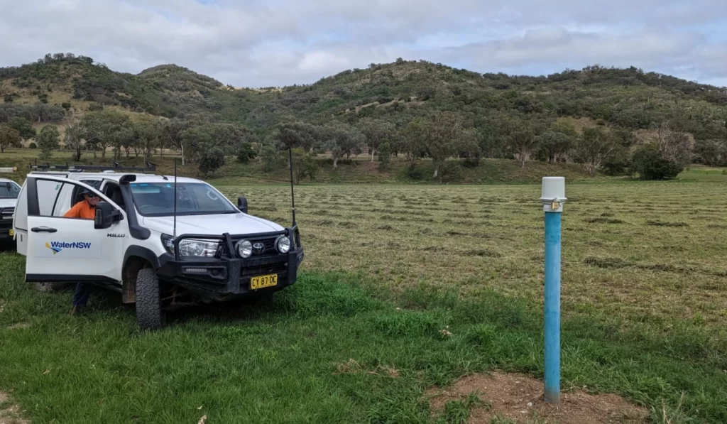
Groundwater IoT Upgrade – NSW, Australia
The WaterNSW Groundwater Monitoring IoT upgrade is the largest government agency groundwater digitisation project ever carried out in Australia. EWS were awarded the contract to supply 5,000 EWS Switch devices (a mixture of Iridium and cellular communication type) to upgrade the states groundwater monitoring network. These devices paired with level sensors will provide high resolution information about the states important groundwater resource.
Read more
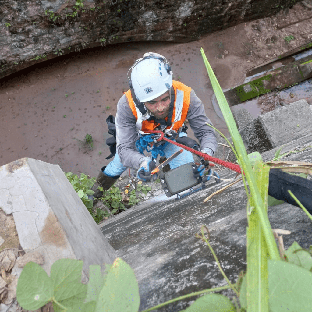
Major Iron Ore Arterial Rail Slope Stability Monitoring, Minas Gerais, Brazil
EWS' Iridium Satellite Telemetry Tilt Meters were deployed to monitor slope stability on sections of remote rail infrastructure along Brazil's largest mining company's rail line. The telemetry tilt meter devices are providing slope stability data from areas far outside of cellular coverage and provide are integrated with the mine companies central monitoring hub.
Read more

Geotechnical Monitoring for Slope Stability, San Diego, CA, USA
EWS VWT Devices were deployed at a site near San Diego, California to log and transmit data from vibrating wire piezometers over the Iridium satellite network. The area had poor cellular coverage and data was critical for near real-time monitoring of soil pore pressure values that directly impacted the slope stability.
Read more
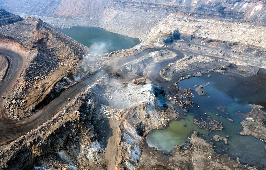
Geotechnical Monitoring of remote Silver and Zinc mine, Peru
EWS Devices were deployed across a remote open pit gold mine in Peru to provide connectivity to geotechnical data where no cellular coverage was available. Iridium VWT devices were connected to vibrating wire piezometers to log and transmit soil pore pressure data and the EWS Well-Cap was installed on groundwater bores across the mine to log and transmit groundwater level data. The devices provide improved visibility of data that impacts operational efficiency and removes the need for lengthy and dangerous field visits by mine workers.
Read more
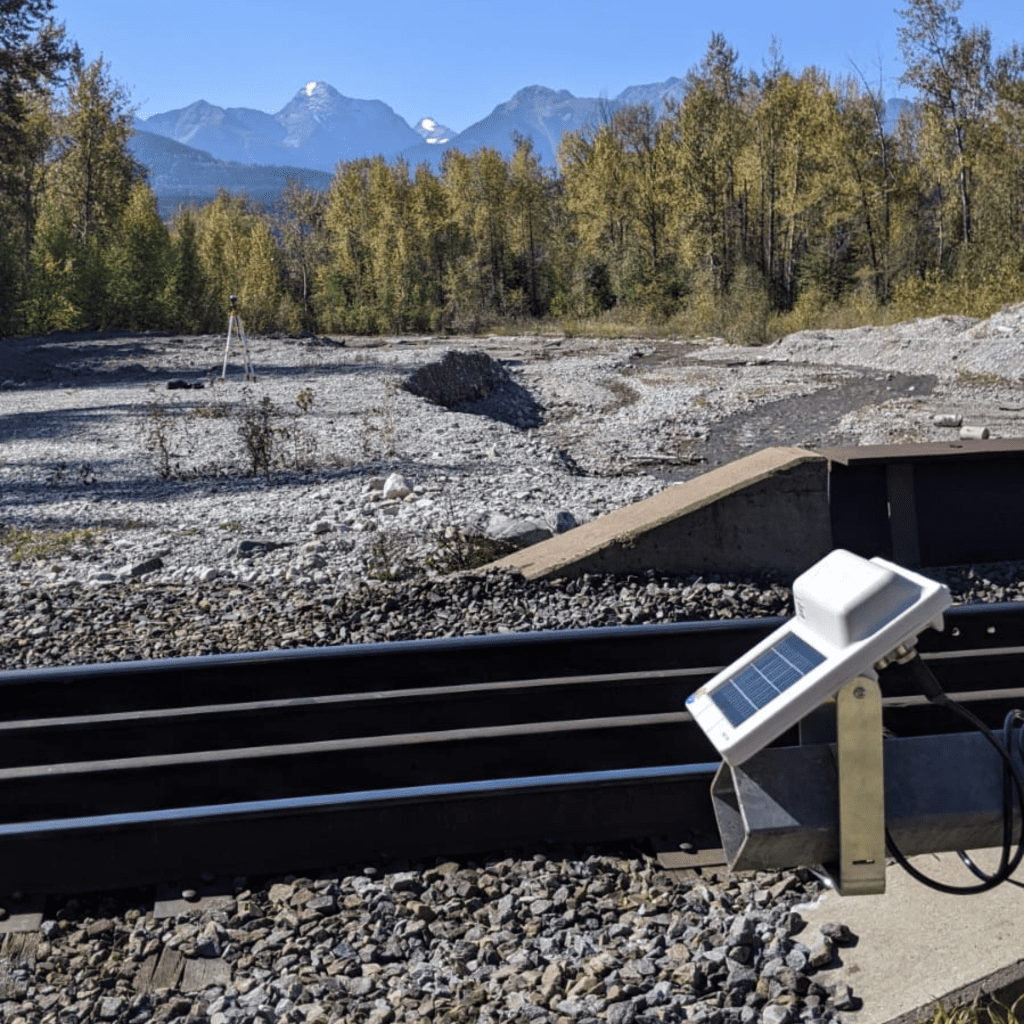
Rail Flood Monitoring, Alberta, Canada
During spring in Canada, snow melt runoff can cause rivers to swell and inundate rail bridges and culverts. The remoteness of most of Canada rail network means zero cellular coverage making it previously difficult to monitor. EWS Iridium Devices were paired with hydrostatic level sensors to provide river monitoring and flood warning systems for remote rail bridges and culverts in Alberta, Canada.
Read more
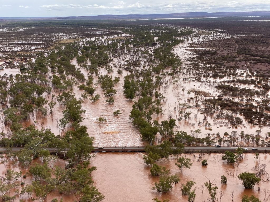
Flood Warning Systems, Pilbara, Western Australia
Rivers and weather events in the Pilbara region of Western Australia (WA) are extreme. Battling with streamflow networks that can take out entire roads & rail coupled with daily rainfall events which can range from 20mm-+100mm in the wet season, reliable early warning systems are critical for mine site operation and safety. Numerous water level monitoring sites were installed on reactive tributaries utilising the EWS Iridium Satellite connected devices. Additional Tipping Bucket Rain Gauges were installed in surrounding areas to provide more accurate and localised meteorological information to customers.
Read more
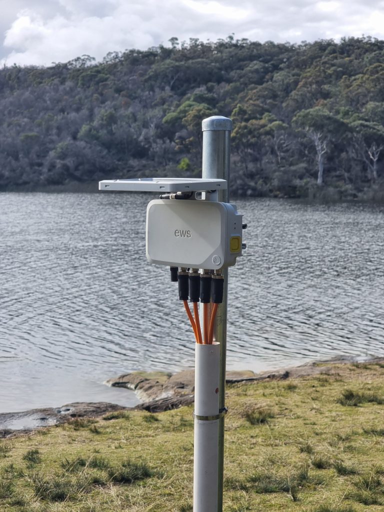
Dam Safety Monitoring, NSW, Australia
EWS supplied Iridium satellite devices to various dams in NSW to monitor both geotechnical and hydrometric parameters. EWS VWT devices were installed to read and transmit data from vibrating wire piezometers around the dam catchment and EMT devices were installed to monitor water levels both upstream and downstream. The remote locations of the dams had previously prevented the operators from implementing effective monitoring systems, with EWS devices Iridium satellite connectivity this problem was easily solved.
Read more
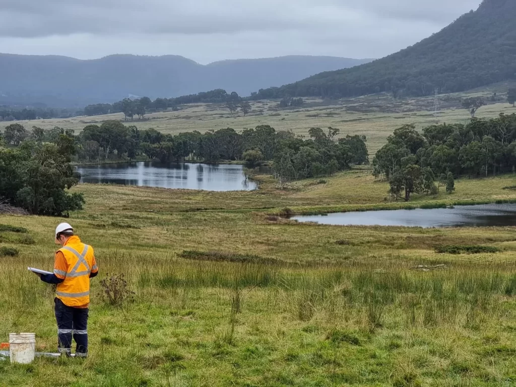
Great Western Highway Upgrade Geotechnical Investigation, NSW, Australia
Australia’s longest road tunnel at 11kms long, this project is located near the Blue Mountains Region of NSW. When completed, the $2.5Billion project will form the main road corridor between Central Western NSW and the Sydney Region. Over 100 boreholes were drilled with some fitted with VWPs and others with monitoring wells, EWS Well-Caps and VWT devices were installed and are providing critical remote data over Iridium satellite connectivity for the geotechnical investigation.
Read more
